sunnuntai 24. toukokuuta 2015

A little more mountain climbing

Tuesday May 19th I headed again to the Hampaturi area for some more climbing. I wanted to climb a 5500 meter peak between Serkhe Kollu and Hati Kollu. Unlike those two, this one doesn't appear on any climbing website, and it doesn't seem to have name according to online maps. I drove to the same spot from where I started the walk to Serkhe Kollu less than two weeks earlier. The drive felt a little nicer now because there was already light when I got to the dirt roads. From the road's end, instead of heading toward Serkhe, I headed to the right. First a little bit down, across a stream, and the it was a pretty steep slope; first grass, then sand, and higher stones and rocks. I had been suffering from a mild flu for a week and a half, but now I noticed for the first time that breathing heavier hurt a little bit in the lungs. It made me think of maybe doing something easier and shorter. So I went slow and soon felt better. After about 1hour 15minutes I reached the top of the hill or the mountain or the ridge. The other, shady side had plenty of snow, starting from about 4800 meters. I was at well over 5000. This area is all narrow valleys that have mountains on each side.

I put on boots and crampons and went down about 100 vertical meters to find easier terrain to get closer to the peak I wanted to climb, which looked like this from a little closer.

I was not on a glacier yet, so it felt safe. There was some fresh powder on top of the hard snow layers. But as I was not having my best day, I didn't feel very motivated and didn't have the energy, and slowly gave up on the idea of going over 5500m. So, instead, I just chose a nice slope to climb.
I was at 5300 meters. The views were pretty cool and I took some really good photos. 

sunnuntai 17. toukokuuta 2015

Climbing Hati Kollu

Thursday, May 14th I climbed a mountain called Hati Kollu. Like Serkhe Kollu one week earlier, this mountain is in the Hampaturi Group which is very close to La Paz. Hati is only about 15km or 10miles from the center of La Paz, but or course the roads are not straight and they are very bad, so it takes about 1,5 hours to get to the road's end. Here the road ended at an elevation of 4400 and a little bit. The mountain is 5420meters high.
 I started walking from the car at 6.21 am. After one hour I arrived at a lake. After another hour I reached the low end of the glacier, which ended almost to another lake at 4870 meters. This lake has some sandy beaches that could be nice for camping.
 The climb certainly looked nice from the beginning of the glacier, and the snow was perfect. The slope was not too steep, but I think over 30 degrees all the time, and the steepest section was around 50 degrees. Of course in the pictures it looks less steep.


Here I took the right side, climbing close to the rocks on the right. The middle of the picture would have been steeper, but this time after a difficult climb on Serkhe one week earlier, I wanted to avoid all difficulties. The right side also looked safest; there were some crevasses on my left although right now after the rainy season is over they are mostly filled up with snow. That's why this is the best time to climb, especially alone, and also now there is less ice on the mountains, which is good. 

After the steepest section, it was quite long snow field at about 30 degrees. The last 50 vertical meters to the top were a mix of rock and snow at a steep angle. From the start of the glacier until the beginning of the mixed rock and snow it was about 490 vertical meters that I covered in 60 minutes (not including one short stop) which I think is really fast. I didn't think the last part would have been difficult, but at first I climbed up a little bit, but had to go back down because it was too difficult. Then I tried another route, but had to come down again. I traversed more to the left and tried and failed again, thinking that maybe I could make it if I took my crampons and boots off and tried in running shoes, but I was not going to do that. Finally, I went back close to where I did my first attempt, and found a way through to a steep and narrow snow couloir that leads to the top. The top was rocky with a little bit of snow. I'm glad that this time it was not foggy I had good views.


Serkhe Kollu zoomed from Hati Kollu:
Mururata zoomed from Hati Kollu:


On the drive back to La Paz, on a narrow one-lane road, 3 men were doing maintenance. They had a tractor and a truck on the road and I had to wait about 15 minutes. Then they wanted me to give them "at least 30 bolivianos" (about 4,5 dollars) to buy soda. I didn't pay, and only had 20, but they insisted. I still didn't pay, saying I had nothing. They left saying they wouldn't let me pass until late in the evening because I didn't pay, and got back to their work. I drove closer to the tractor that was working but blocking the road, keeping the engine running, and after another 15 minutes they let me pass. Soon, the back door of my car just opened, and I stopped. This was closer to the city, and police appeared in a pick up truck. They talked to me a lot and then found out I was missing an inspection sticker, and that they could give me a ticket of 80 bolivianos, or I could just pay them 20 bolivianos. I kept saying that nothing was missing, everything was ok with the car, and they could just give me a verbal warning, etc. A lot of talking, but a long story short, eventually I kept insisting I wanted the ticket of 80 bolivianos, and not pay them 20 bolivianos, and they just left. So they just invented the whole thing to get some money for themselves. 


sunnuntai 10. toukokuuta 2015

Climbing Serkhe Khollu solo

I didn't do or attempt any climbs for 2 months, mainly because I wanted to wait for better weather and snow conditions, and because there were some triathlons and bike races. The day after the latest race my back was hurting until the next Friday, which was the worst day, so I spent 6 days doing no training.

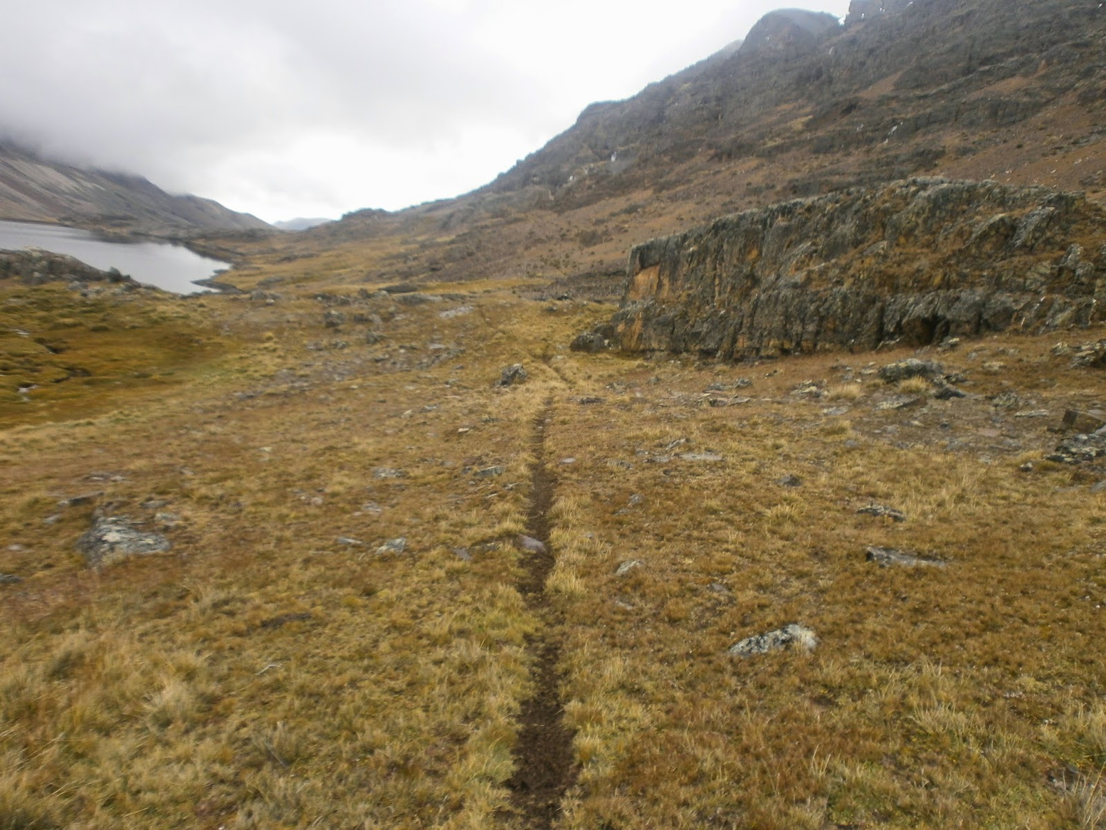
  On Thursday May 7th I went for a mountain called Serkhe Khollu (the name has other variations too) because I had seen on Google Earth that it's possible to get pretty close to the mountain by car. I left home at 4.37am. After 15 minutes of driving higher to the mountains it got really foggy for a moment and I had to slow down and was really disappointed thinking I'd be climbing inside a cloud again. But, as I got higher the sky was clear and there was no fog. The moon was still very bright since it was full moon just 3 days earlier, and the light helped a lot when I turned onto some very narrow mountainside  "roads". The drive was the worst of my life. Terrible, terrible roads and near darkness. It was a road that lead to and ended at a dam at a lake in a deep and remote valley. This mountain is not climbed often. I'm almost sure it's only a few times a year. There is light at about 6.30am and I started the walk at 6.38. The altitude at the lake is about 4810 meters. I followed some llama paths toward the end of the valley where the mountain was waiting, but I was impressed by the peaks on both sides of the valley too. I thought I should come again and stay 2-3 days because there is plenty to climb and explore. It was a very nice walk. Just trekking there would be fun too and it's possible to reach some really high altitudes without any equipment.

   It took about 1 hour 30 minutes to reach the snowline, where I had decided to see where to climb. I had seen online that the easiest route would be the left side of the mountain, but hadn't paid attention to other alternatives. I wanted to see and feel how the snow was, and then make a decision. Early in the morning on the lower slopes the snow was perfect; hard with great rough surface for a good grip, and I was able to get pretty far wearing my running shoes before putting on climbing boots and crampons. Because the snow was great, and because the easiest route looked too easy from below, I decided to head straight on to the steep main face of the mountain that was rock, snow, and ice. There were thin lines of snow and ice going up after the lowest snow slopes, and some sections had like steep rock ladders, so I thought it was not going to be too extreme.


Soon, however, the snow got softer. I didn't like it anymore and I spent a lot of time thinking about my next move. As a solo climber my every move has to be secure and perfect. Of course when you are on the wall, it feels a lot steeper and higher than from below. I mostly avoided the ice falls where possible, but the mixed rock and snow climbing was still hard.
  About halfway up, there is a section with more space, and from where it is a very steep snow slope. And there the snow was perfectly hard again for about 150- 200 vertical meters, so I didn't mind the steepness much. Higher up, there were more and more spots where the snow was soft. I didn't worry yet, but then it was all soft snow, and I was in trouble: steep slope with soft snow is not a good place to be. That's when I really regretted not having taken the easy route up. I didn't think going down was an option and I was maybe 150 vertical meters from the top so I kept going up. It was really slow and I had to kick good steps and make holes in the snow for both hands for each step. My ice axe just plowed through the deep snow. From afar I had seen that there was a pretty big cornice on the top, but somehow I also believed that just below the cornice there was a narrow ledge where I could rest a little bit, but once I was on top of the steep snow slope I saw that there was nothing else but the overhanging cornice. I was standing on a steep slope, in the deep soft snow, not sure if it would hold, with an icy cornice over my head. It was not fun and again I had great regrets taking this way up. Now I wish I had taken pictures of the situation, but I didn't take any. It took well over an hour of standing there and digging to make it through the cornice. My worst hour on a mountain. I don't climb mountains because I like the dangers of it, nor do I really want to climb the hardest routes I can. What I always picture in my mind is sun, snow, great views, and moderate difficulty but still something enjoyable.

   It was a great relief to make it through, and once through, there was a gentle slope of perfect snow again. An easy walk to the top. Unfortunately it was now foggy and there were no views from the mountain. The highest point is 5545 meters or 18,200ft. On the way down I found out that the easiest route to the top is not as easy as it looked like from the valley. In fact, I thought it was almost perfect: quite steep, good snow, and no crevasses or other dangers in sight.
   Afterwards I saw online that my route up was a variation of 2 named routes, both rated TD+, which surprised me a little bit. It's fun to see your gps track on google earth. The satellite images have a lot less snow than there actually is on the mountains, even though the imagery date was almost exactly the same, one year earlier (one year, one day earlier).

Llama path: